Aerial Photography from Denmark
See the outdoor exhibition of unique aerial photos from all over Denmark!
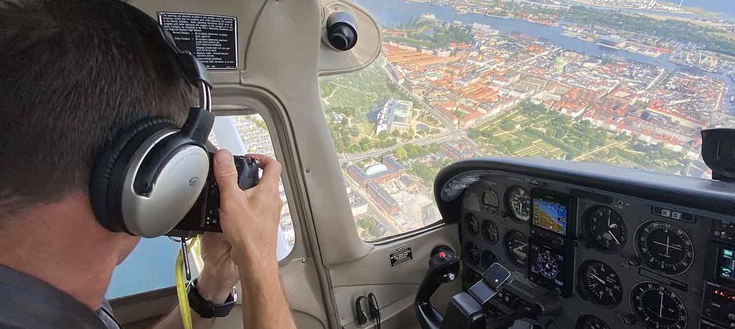
Jesper Larsen flies all over Denmark to photograph properties for clients. Typically, it is farms, schools, companies, etc., that he works for. On these tours, there is plenty of opportunity to enjoy Denmark from above - and photograph the unique motifs that the Danish landscape offers.
As the years go by, it has become a remarkable collection of images showing Denmark from above. You can see a selection of the images at the Aerial Art from Denmark exhibition.
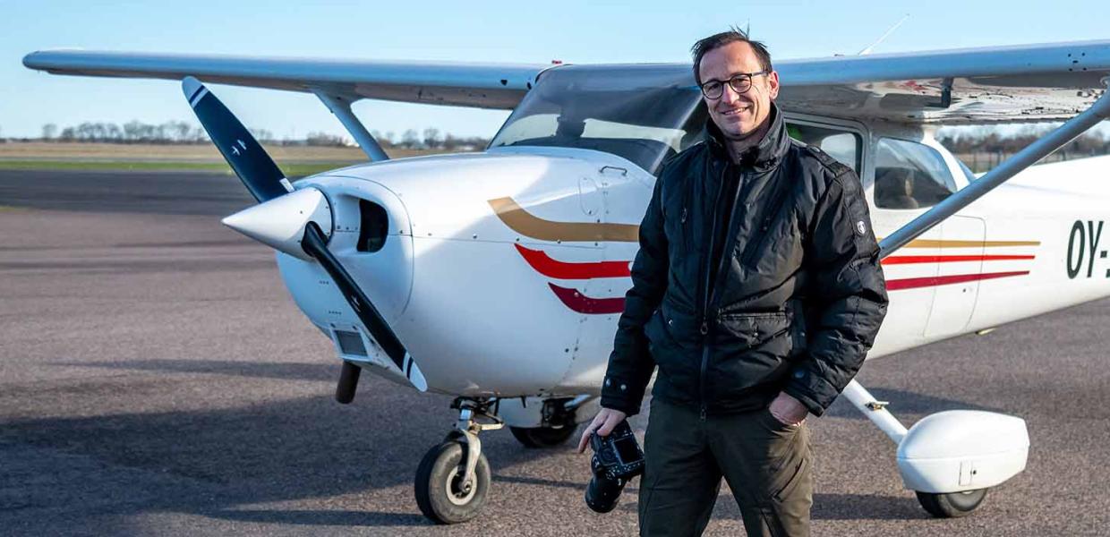
Photo:Jesper Larsen
Aerial photographer Jesper Larsen
Jesper Larsen started as a pilot in 1991 and set up his first aerial photography company the following year. Today, Jesper's company Luftfoto Danmark is one of Scandinavia's largest aerial photography companies.
Over the years, he has been trained as a commercial pilot, has obtained permission to fly banners and has become a certified aerial photographer with PAPA International, the world's largest association of professional aerial photographers.
Jesper Larsen has received several international awards.
Best Artistic: Award winner with the image “Neighbours” (PAPA, 2010)
Best Construction Progress: Award winner with the image “Teamwork” (PAPA, 2012)
In October 2023, PAPA awarded Jesper Larsen with the Aerial Photographer of the Year Award. It was the outdoor exhibition, which can now be seen in Hasmark, that particularly impressed the judges.
Based on his experience in the field, in 2019 Jesper Larsen was appointed as a judge at the annual, international photo competition at PAPA in Texas, USA.
Jesper Larsen's work is documented in the three photo books “Som en fugl ser det” (2011); “Danmark, et smukt sted på Jorden” (2015) and “Luftkunst fra Danmark/Aerial Art from Denmark” (2019)
You can follow Jesper Larsen's work at luftkunst.dk and luftfotodanmark.dk
Pictures from the exhibition
Get an overview of the images and motifs of the exhibition!
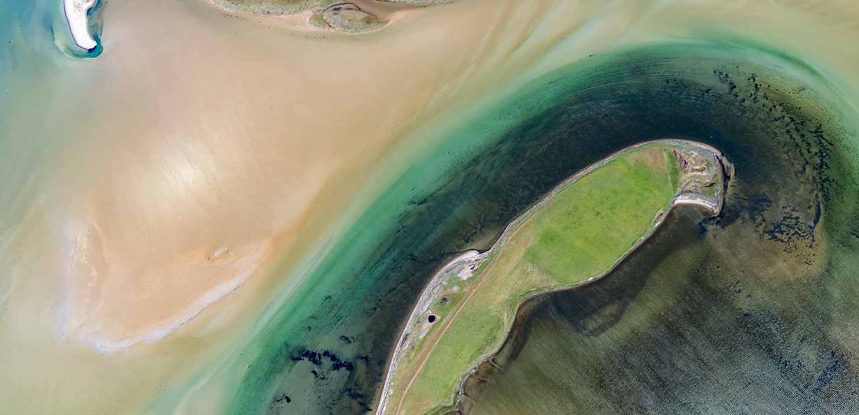
Photo:Jesper Larsen
Nærå Strand
On North Funen by Flyvesandet you will find Nærå Strand, a shallow body of water that is bordered by the long, narrow peninsula Nørreby Hals. Nærå Strand is a wildlife reserve where birds can roost and look for food undisturbed. You can see Nærå Strand from the path along Nørreby Hals. Can you find the parrot?
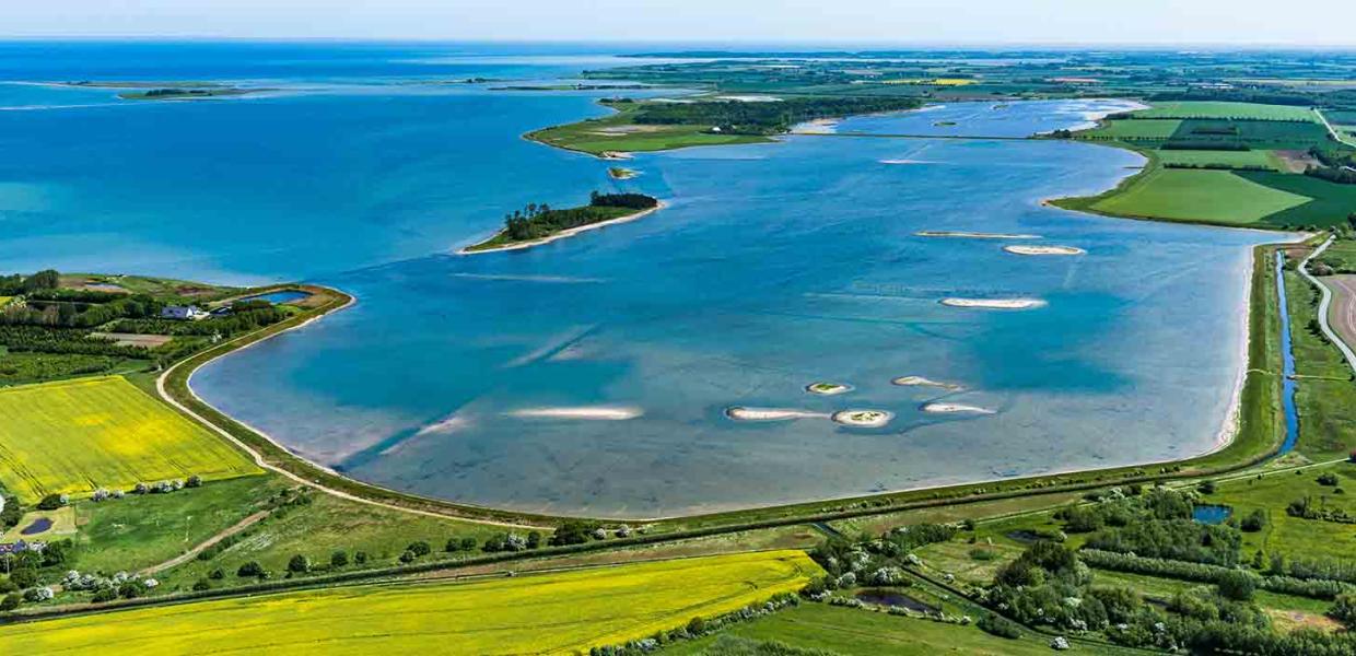
Photo:Jesper Larsen
Gyldensteen Strand
Gyldensteen Strand was drained in 1871, and the former seabed was reclaimed as agricultural land bed. In 2014, the dykes were removed in a 616-hectare nature restoration project that has recreated part of the former fjord. Today, there is a rich birdlife here, and there are paths and bird towers so you can see the nature. The foundation Aage V. Jensen Naturfond owns the area.
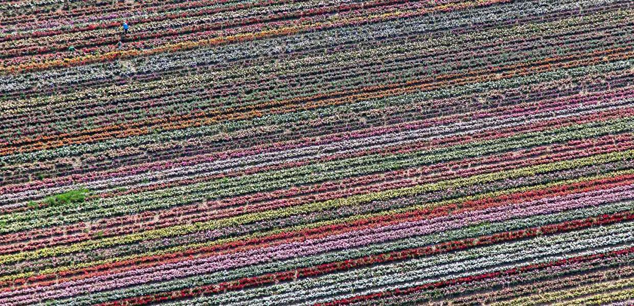
Photo:Jesper Larsen
Roses
In the fields near Bogense, you will find Scandinavia's largest rose production. The annual Rose Festival takes place in Bogense on the 1st weekend in August. The town is decorated with more than 100,000 roses for the festival, and it is possible to go on a tour of the fields with the blooming roses. Can you find the two people in the picture?
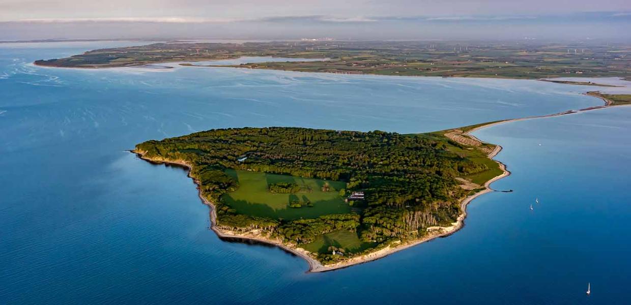
Photo:Jesper Larsen
Æbelø
Æbelø is a small Danish island off the north coast of Funen. At one time, more than 40 people lived in their own little community on the island. Today, Æbelø is a nature reserve that is home to several rare and endangered animal and plant species. There is no harbour on the island, but it is possible to walk there through the water at low tide or sail close by. Æbelø is owned by the foundation Aage V. Jensen Naturfond.
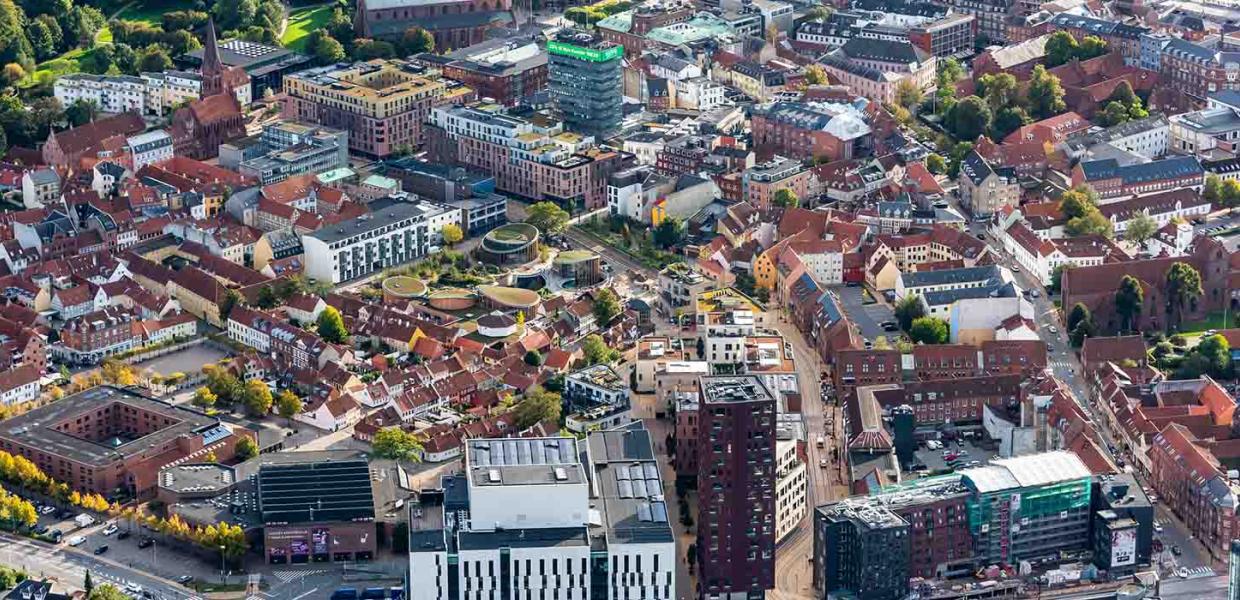
Photo:Jesper Larsen
Odense
The area around the street Thomas B. Thriges Gade has gone through big changes in the last 8 years. The four-lane street that divided the city in two is now closed, and a brand-new neighbourhood has been built here with homes, public squares, and specialty shops. The new museum Hans Christian Andersen’s House with its round roofs has become an important part of the whole area.
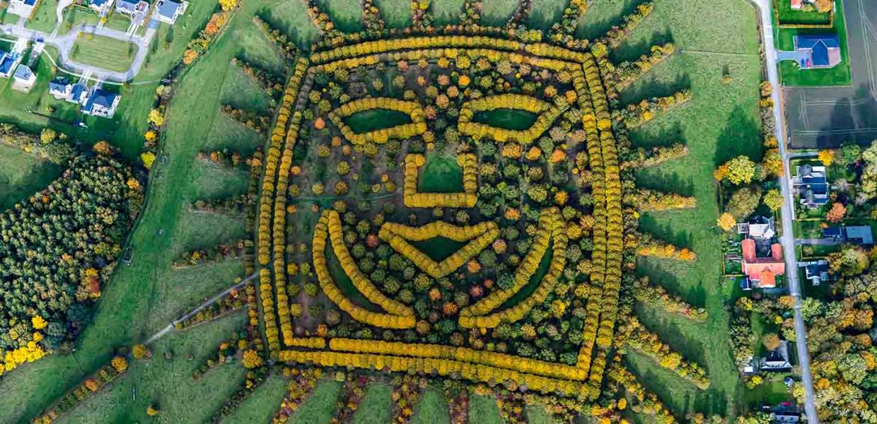
Photo:Jesper Larsen
The Hans Christian Andersen Forest
The wood is located on the outskirts of eastern Odense and was planted in 2005 in connection with the celebration of Hans Christian Andersen's 200th birthday. The wood is shaped like one of his famous paper cuts showing the face of the sun. The face is planted with oak trees, and the eyes, nose, mouth, and cheeks are planted with linden trees.
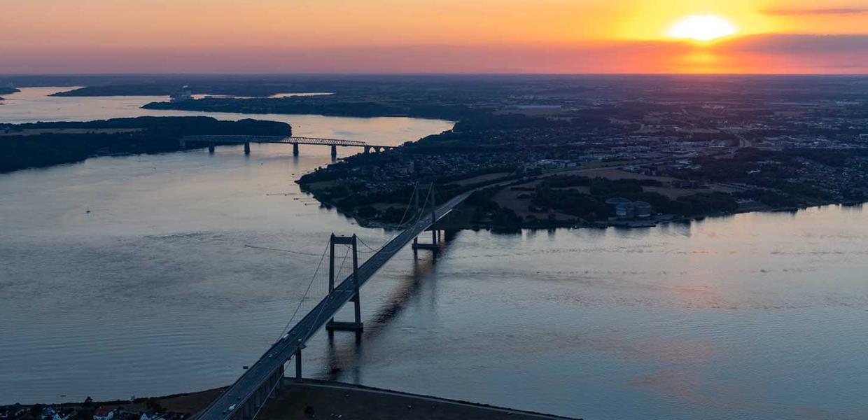
Photo:Jesper Larsen
The Bridges of Little Belt
In the foreground is the new Little Belt Bridge, which was put into use in 1970.
The old Little Belt Bridge in the background is a combined rail and road bridge. It was inaugurated in 1935.
You can go on bridge walking tours on top of the framework of the old bridge, 60 m above sea level.
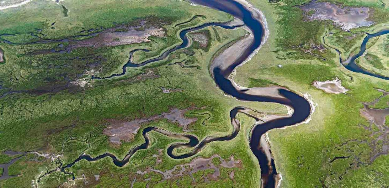
Photo:Jesper Larsen
The Wadden Sea
Tidal channel at northern Rømø. The water flows in these channels at ebb and flow. The Wadden Sea is on UNESCO's World Heritage List. At Skærbæk stands the observation tower Marsk Tower (the Marsh Tower), where at a height of 25 meters you can look out over the Wadden Sea and the island of Rømø.
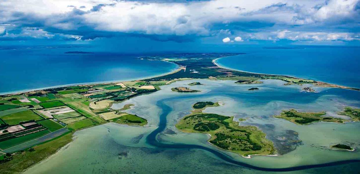
Photo:Jesper Larsen
Samsø
In the foreground is Stavns Fjord, and northern Samsø can be seen in the background. The island is known for its beautiful scenery, including hilly landscapes, idyllic beaches, and lush fields. Stavns Fjord is a protected nature reserve with a rich birdlife.
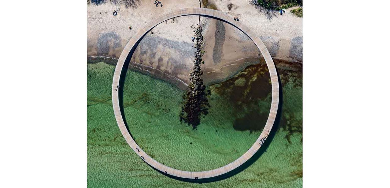
Photo:Jesper Larsen/ design af Niels Povlsgaard og Johan Gjøde
The Infinite Bridge
The bridge was created by architects Niels Povlsgaard and Johan Gjøde as part of the ARoS exhibition Sculpture by the Sea, which took place in 2015. The bridge became so popular with the locals that the Municipality of Aarhus made it permanent. Today, the bridge is a favorite excursion spot for both locals and tourists.
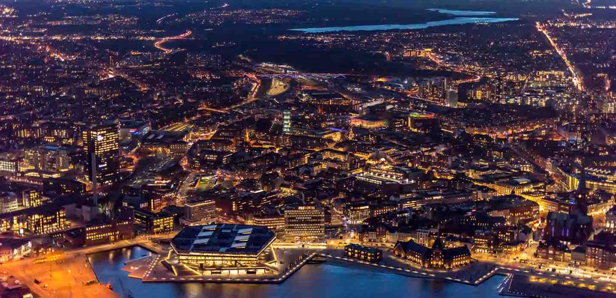
Photo:Jesper Larsen
Aarhus
Aarhus is Denmark's second largest city. 285,000 people live here. The name comes from the Old Danish word Árós, which means the mouth of the river. At the bottom of the picture, you can see Aarhus Harbour and Dokk1, which is a cultural center of around 60,000 m². It was inaugurated in 2015. The Brabrand Lakes can be seen in the background.
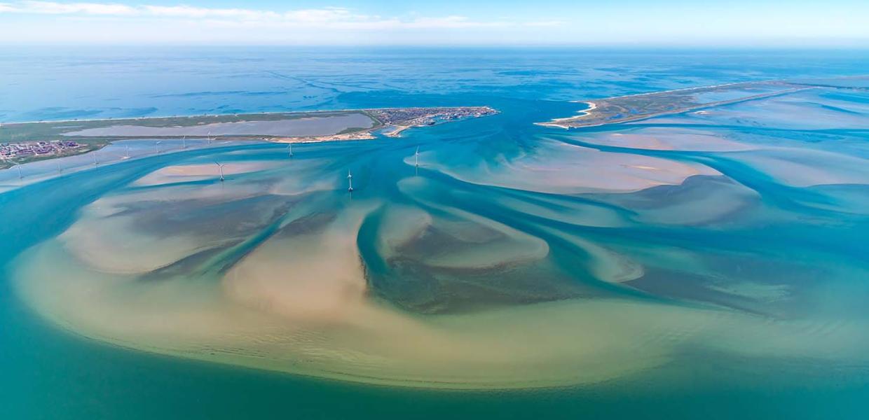
Photo:Jesper Larsen
Nissum Bredning
The 200 km² Nissum Bredning on Denmark's west coast is the western bredning or widening of the Limfjord, where the fjord is connected to the North Sea. A bredning is an open water area in connection with a narrow body of water. Nissum Bredning protects the coast against flooding from the North Sea, as it acts as a natural barrier against storm surges and floods.
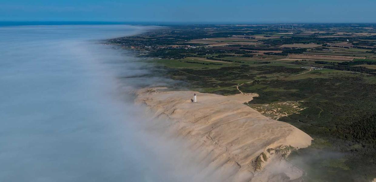
Photo:Jesper Larsen
Rubjerg Knude
Rubjerg Knude is the highest part of Lønstrup Klint, a 15 km long coastal cliff between Lønstrup and Løkken. The coast is eroded 2-4 meters a year due to wind and weather. The Rubjerg Knude Lighthouse is located on the cliff. To preserve and secure the lighthouse, it was moved 70 meters further inland in 2019.
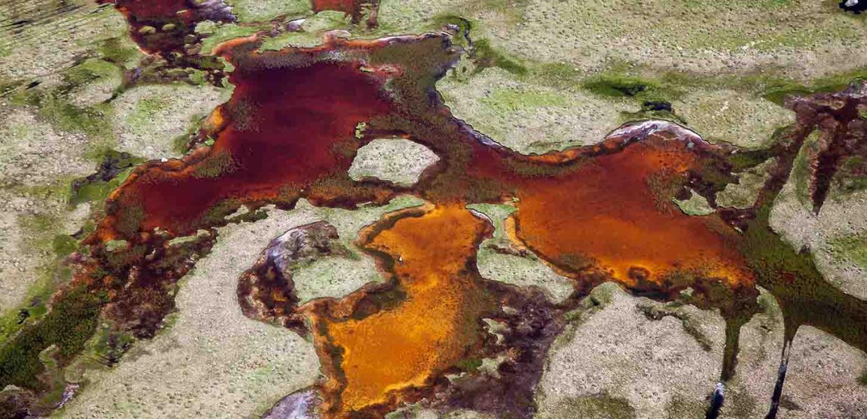
Photo:Jesper Larsen
Læsø
Læsø is the largest island in the Kattegat and is situated about 19 km from the coast between Sæby and Frederikshavn. There is saline groundwater in the island's southern salt marshes, which are flooded by seawater in winter. In the spring, the seawater evaporates, and the salt remains, and the salt content in the groundwater slowly increases. There was a natural sea salt production on the island for hundreds of years. Today, the company Læsø Saltsyderi uses the old medieval methods to produce salt.
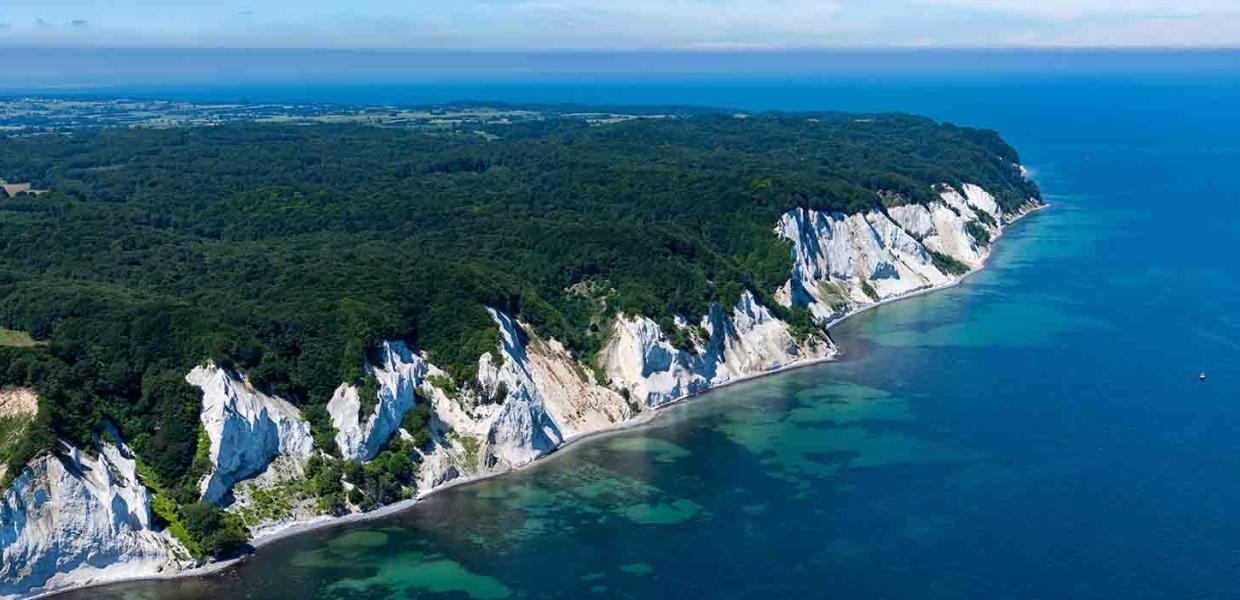
Photo:Jesper Larsen
Møns Klint
Denmark's highest cliff is 7 km long and up to 128 m high. There are several places along the cliff where you can walk down some stairs to the beach. The longest staircase has 497 steps! Møns Klint consists of chalk deposits from the skeletal remains of billions of microscopic algae and other marine animals more than 70 million years ago.
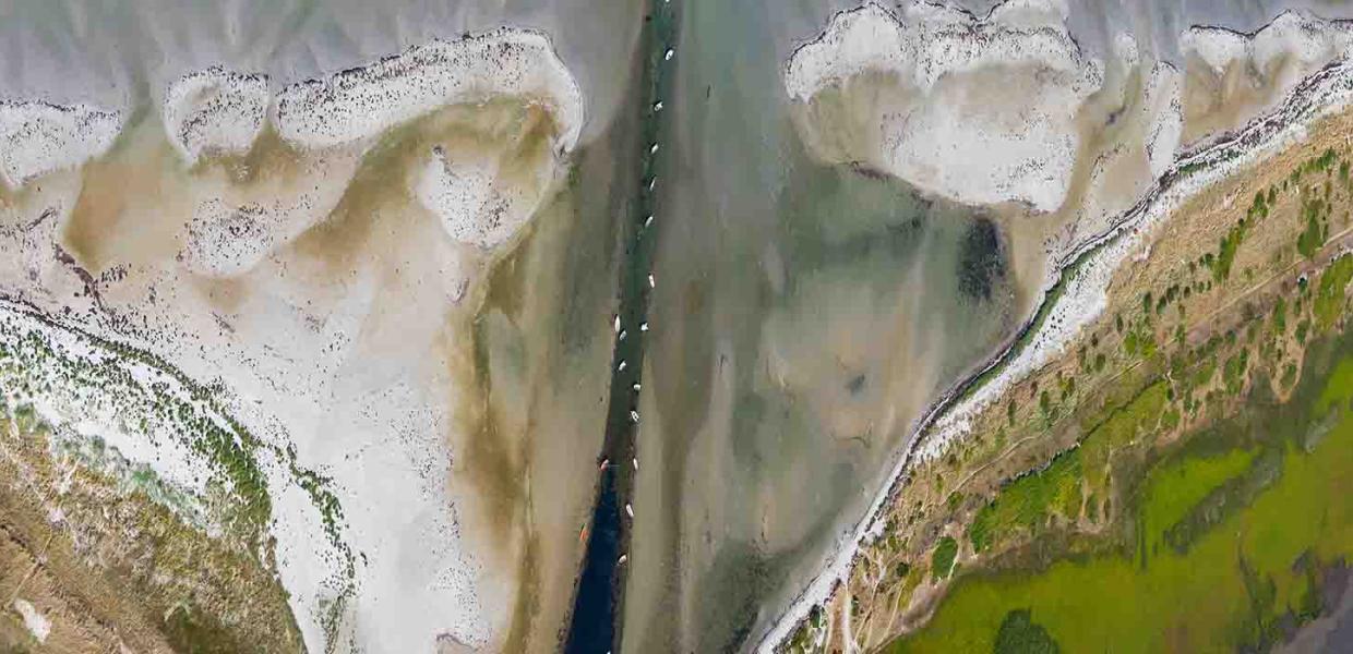
Photo:Jesper Larsen
Sejerø Bugt
The Sejerø Bay is located in the Kattegat between Sjællands Odde and Røsnæs. The picture is from Ellinge Lyng. Here is a narrow channel on the barrier coast of Korevle, which was created by a storm surge in 1902 and has since grown with many small islands. You can see small boats in the waterway.
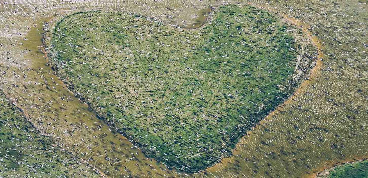
Photo:Jesper Larsen
Avnø
The Avnø peninsula lies between Vordingborg and Næstved. The peninsula was from 1931-1993 a military area with an air station. Today, Avnø is a nature reserve and a home to many birds. The heart-shaped Klydeøen (Pied Avocet Island) was created in 2011 to give the pied avocet a place to breed. The island is the size of a small soccer field. In this picture, you can see a large flock of geese flying over the island.
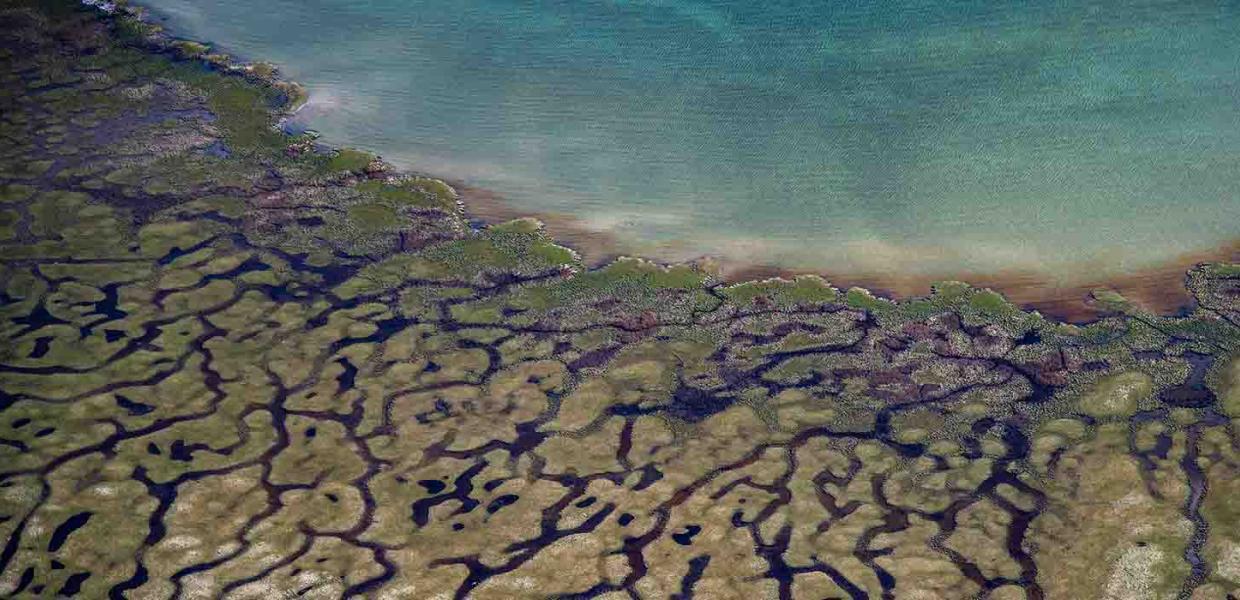
Photo:Jesper Larsen
Roskilde Fjord
You can see this unique beach on the Bognæs peninsula. Bognæs is a protected nature reserve at the bottom of Roskilde Fjord with a very jagged coastline with many small islands and islets. If you look closely, there are a lot of faces and figures hidden in the picture. Can you find them?
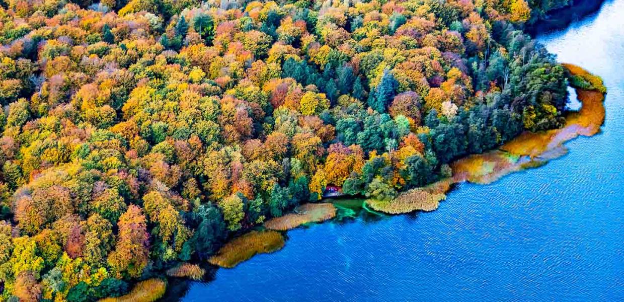
Photo:Jesper Larsen
Furesø
Furesø is Denmark's deepest lake with the greatest water depth of 37.7 metres. The lake is 940 hectares. Furesø means Pine Lake in Danish. The lake was once surrounded by pine forest, hence the name. The lake is 12 km from Copenhagen. The forest stands with all its autumn colours. In one of the clearings, you can see a couple of adults with a stroller.
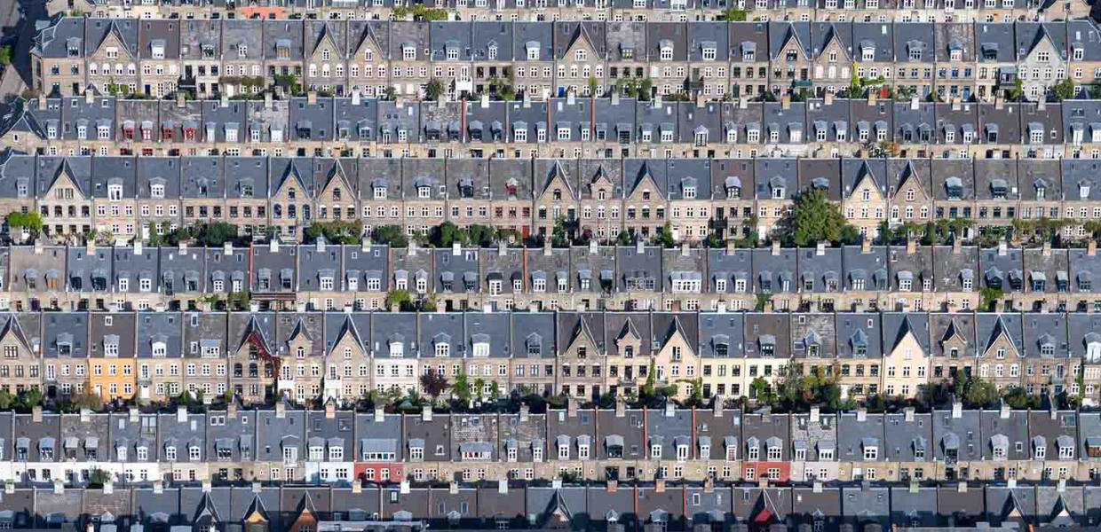
Photo:Jesper Larsen
Kartoffelrækkerne (the Potato Rows)
The so-called Potato Rows are a residential area in Copenhagen on Østerbro. The terraced houses were built from 1873-1899 for workers. Two or three families lived in each house. Before the 480 houses were built, there were potato fields in the area, hence the name. Today it is an attractive neighbourhood, where only one family lives in each house.
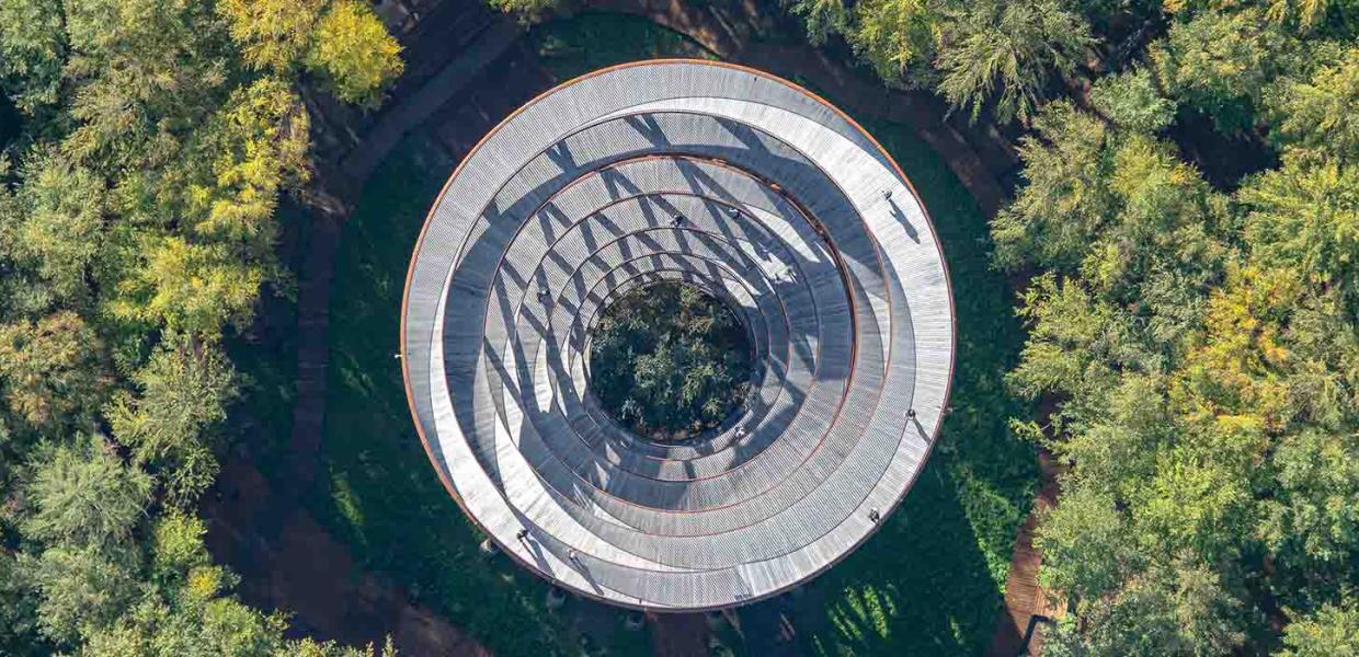
Photo:Jesper Larsen
The Forest Tower
The 45-meter-high tower in Gisselfeld Monastery’s forest is a unique nature experience. The walk through the forest and up the tower is about 3 km long. From the top, 135 meters above sea level, you can see most of South Zealand when the sky is clear.